Iona, Veronika, and Hadrien embark on a journey in the Nullarbor to test a new drone meteorite searching software.
Bit of context: Since Seamus pioneered the first meteorite recovery with drone, we have successfully used it at another fall site; and over the last year have been busy upgrading the software so it can scale up efficiently to many meteorite fall sites. Nancy Tippaya from the Curtin Institute for Data Science has helped us swap out the machine learning engine from a binary classifier to a more performant object detection method (YOLOv8). Then Lewis Lakerink, thanks to invaluable support from ADACS, has been busy rewriting both the back-end and front-end of the software, so we can control everything about the drone meteorite searching process from a web interface.
This trip is the first real-world test for all these new things! Seamus, Ashley, and John, ran the drone survey for a meteorite fall site near Madura last year (fell in 2021), so we are going to process the 32,657 images they collected, and then spend a couple of days trying out the critical on-the-ground follow-up of meteorite candidates. To be a meteorite candidate, an object has had to be flagged by the machine learning object detector, and then be human reviewed in several stages. In the false positives, we already found a number of wombats, birds, lizards, and of course kangaroos. The locals are expecting us, they have dug out a deep network of defences (wombat holes).
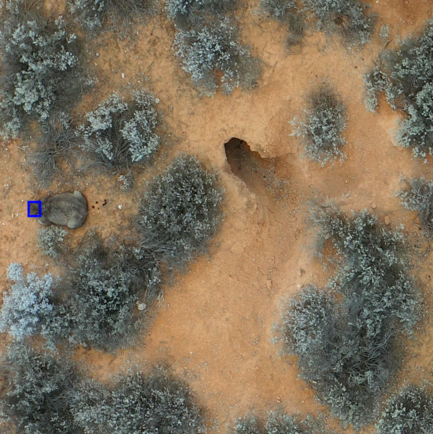
Using the new interface that Lewis made, the DFN team assessed 134,884 candidates, which we reduced down to 3,226 more promising looking objects. Seamus looked at every single one of those, and retained 425 of them. Our task is to find these objects on the ground, and hopefully one of them will be a meteorite.
Once that’s done we will do a bit of observatory maintenance, so we can keep the network ticking.
The team:
- Iona, who, after a previous unfruitful meteorite trip in South Australia earlier in the year, is eager to get out and try the new tech.
- Veronika, PhD student visiting from Comenius University in Slovakia, is keen to see the spectral cameras that she has been using for her research.
- me, Hadrien, been managing the drone sofware improvement project, so can’t wait to test the new software in action, and see if our design choices work in practice.
- Rhonda, where would we go without her? She can go 1,000km on one fuel tank on the highway, but over 1,200km if you take her off-road where she belongs, on the bumpy rocky tracks.
day 1 - drive out
When going in the opposite direction as the Earth’s rotation, no matter how early you start, you’ll never get to the Nullarbor in one day. So I usually like a short-ish first day on the road, we leave at a lazy 11am to commence our journey East.
We stop in Hyden to admire Wave Rock, and push on to McDermid rock, just off the Hyden to Norseman road.
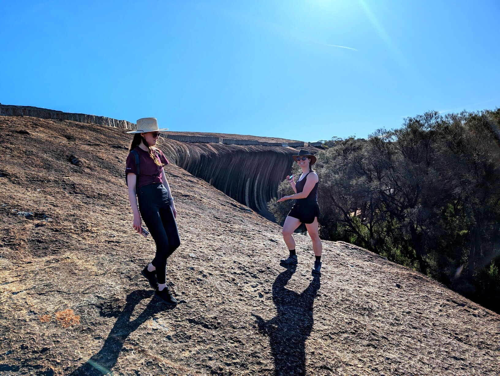
The campsite is empty apart from some mosquitoes, we try our best to smoke them off with the fire. We cook a red thai curry.
day 2 - arrival at the fall site
A quick drive to Norseman, where we buy marshmallows, and an extra half kilogram of strawberries. Then onto the tarmac of the Eyre highway.
We get to the fall site near Madura an hour before sunset, and decide to use this time to check out the nearest meteorite candidate. It is just ~100m away from where we set up camp.
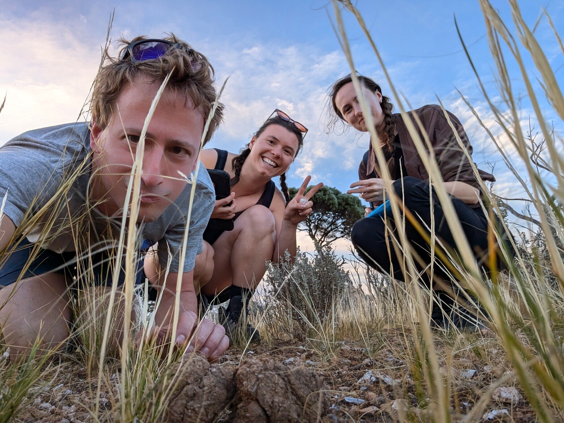
And then it’s up to us to “register” where we are in image, using whatever bush features we can (“Look, these three blue bushes form a triangle!”). It takes us a good half an hour, until finally we work our way to find a convincing looking sheep poo. Since the drone survey a year ago, the poo changed significantly, that’s an extra layer of difficulty we’ll have on this trip.
Evening is time for hack #1: we need to know where North is in the survey images, that should help significantly. Over dinner (mushroom risotto), we devise a way to figure it out based on the drone flight path. With a glass of port, I get the laptop and implement hack #1, and apply it to all survey images. I kind of half-expected to end up having to hack together a few things (I asked Lewis to implement a database export function, also as backup in case of Starlink failure).
day 3 - meteorite candidates follow-up
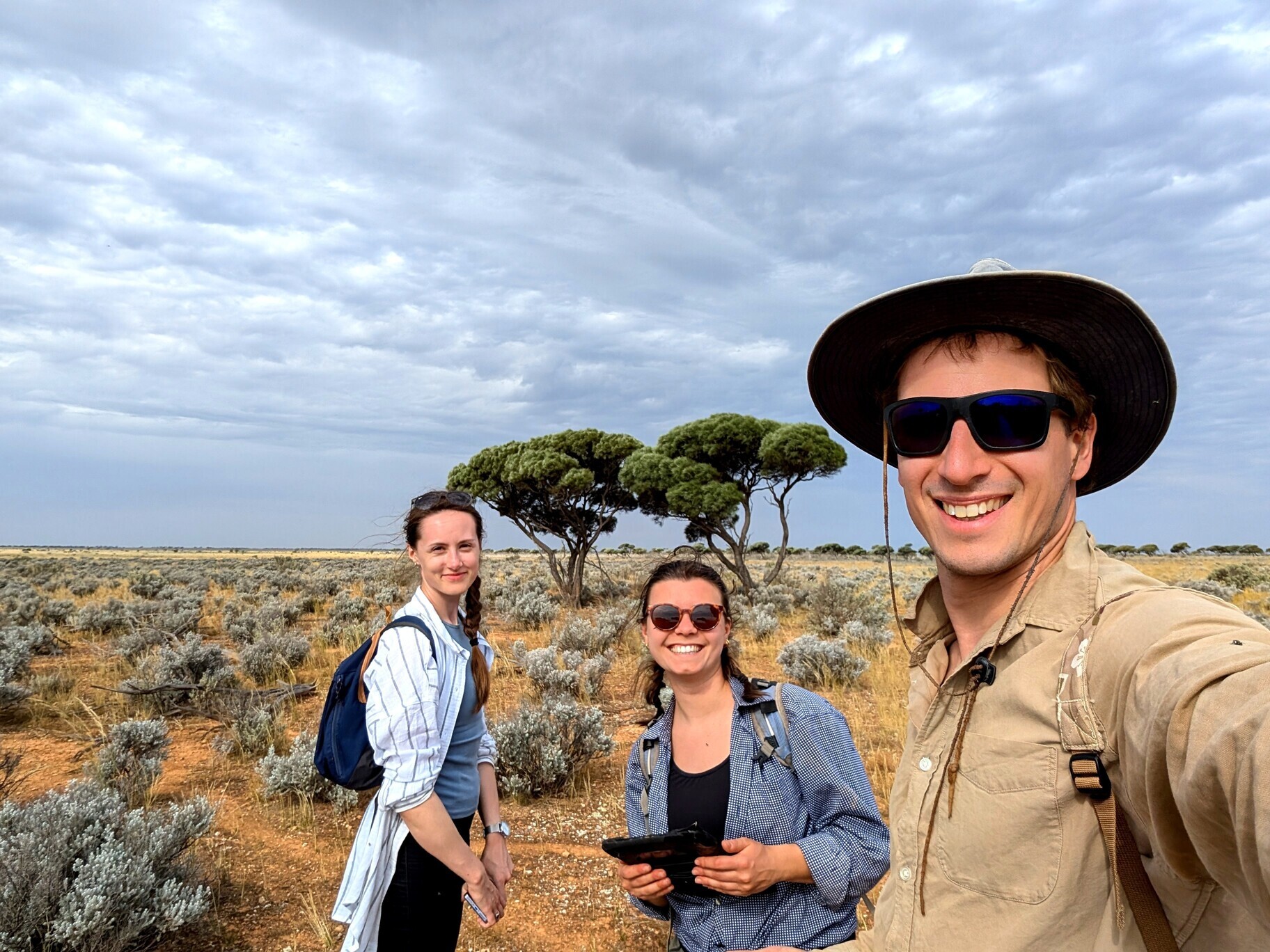
We head out very motivated that morning. Hack #1 is helping a bit, but this is still bloody difficult! Moving away from the car we quickly realise that the high-gain WiFi setup I devised (Starlink to a WiFi router, with high-gain omni-directional antenna) is not very good. Luckily Lewis has enabled cache for the webapp, and we just need to load the candidates when close to the mothership, and then we are good.
Finding the meteorite candidates is still extremely slow though. We use the light drone as air support; matching the survey image with a bird-eye view is not a silver bullet but it definitely helps.
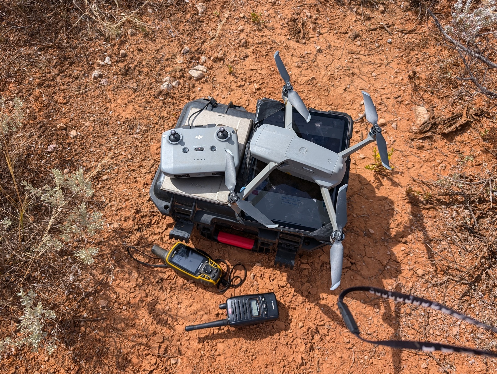
Because of the unusual rain back in April, the whole area looks so different: bushes have grown, and there is now lots of grass that wasn’t there before. It also seems like the wombats have packed up, to our greatest disappointment they are nowhere to be seen, and their large burrrows are sealed off by spider webs.
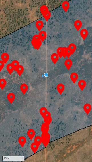
Before lunch it becomes evident that it is time for hack #2: georeferencing the survey images. Seems obvious, but it wasn’t something I anticipated we would need for the first test trip. Thankfully, some clever people have written a neat package to do this, turning drone images that have the necessary metadata (gimbal parameters, geolocation…), into a geoTiff. After a bit of messing around with python environments, I manage to install the package and run it. The ~20MB images get turned into 120MB geoTiffs! So with 10GB of free space on the tablet we can’t simply copy all 400 hundred of the targets we need to follow-up, we have to do it in batches. Annoyingly, finding a mobile app that will render a geoTiff, and overlay the GPS position of the user live, is not as easy as anticipated. We finally find one that works, it is a faff to load each image individually with the proper settings, but it works.
So the process becomes: We decide on a loop of ~15 candidates to follow-up, Veronika sends me the list of corresponding database IDs, I run my hacky scripts on the list, and copy the geoTiffs to the tablet before we head out. Then for each candidate Iona announces the ID we are going to, she navigates us there using the GPS-enabled webapp. In the meantime I load up the correct geoTiff on the mapping app, setting zoom levels correctly, and if all works well I see myself “walking” on the survey image. Except, that due to the combined loss of precision (drone GPS + our GPS), we are still 5-10 m away from the target. It still takes quite a bit of imagination to match bushes between the survey image with what we see on the ground. But we are doing better, I’d say about 50 times better. And finally, once we identify where the false positive is (or was, in the case it was poo), Veronika makes a note, so we can check it off on the webapp when we are back in Starlink WiFi range.
Video: this is what the process looks like
For dinner we throw some potatoes and corn in aluminium foil in the fire. We are all pretty tired, I fall asleep in my chair trying to spot some meteors.
day 4 - nothing but poo
Yesterday it was still difficult to find the target in the survey image, comparing the 2000x2000 pixel crop we have with the full 44MPixel image. Hence before we head out, with Gemini to the rescue I implement hack #3: displaying an oversize bounding box around the target.
We have found all the nearby candidates, so roam around with the car, and finish the Western end of the fall area by lunch time. As a lunch break excursion, we drive out to the nearby caves a couple of kilometres away, which happen to be the nearest geographical features that the meteorite will be named after if we ever find it.
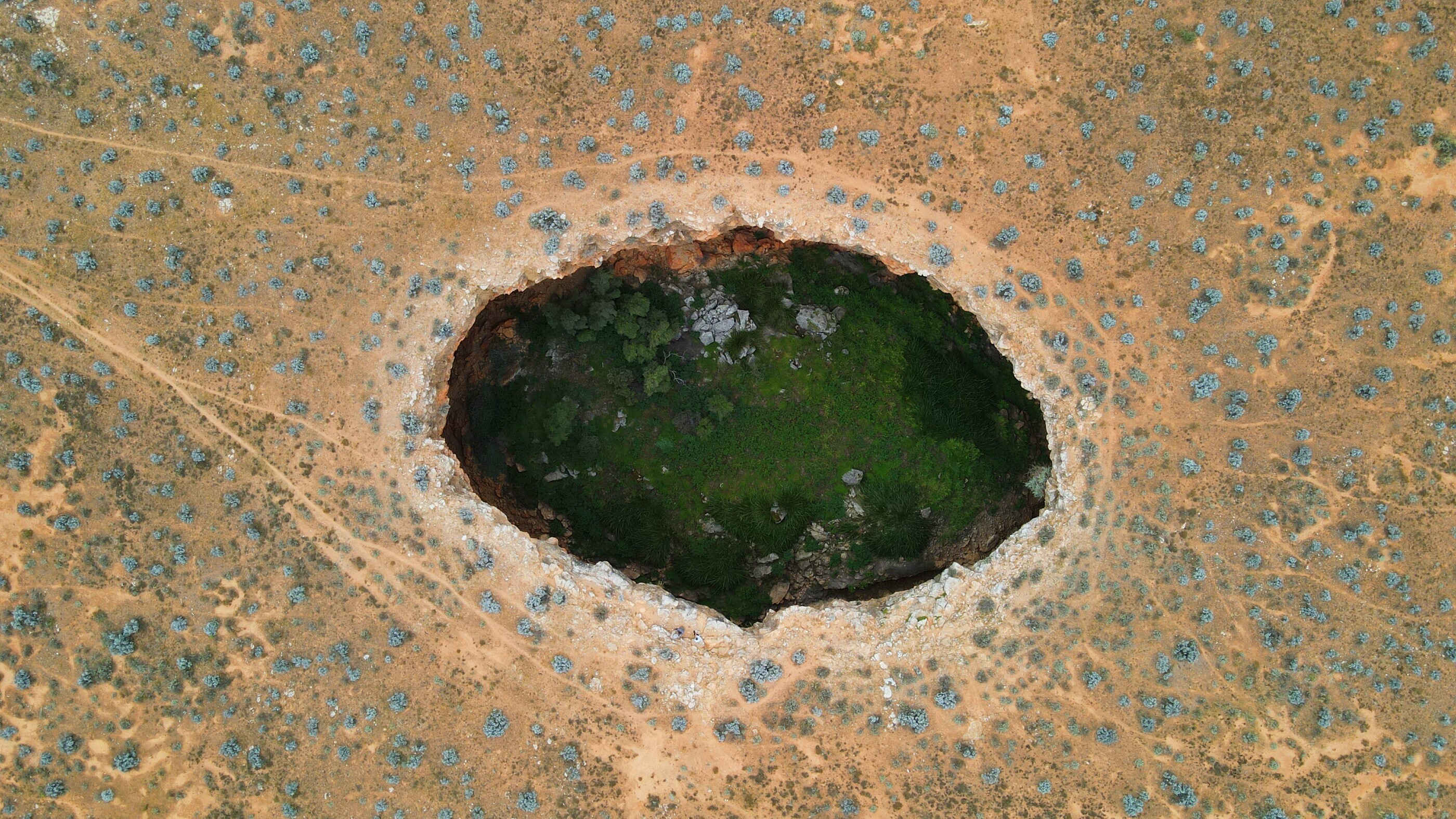
In the afternoon we move camp further East, and start following-up candidates there. The follow-up process is now well established, we conclude the day in good spirits.

Then we feel motivated to undertake camping culinary novelty #2: pizzas! Expert pizzaiolo Iona crafts two beautiful pizzas, while I improvise a set up that I hope will cook the pizzas. Let’s just say there is a reason why a pizza oven has a roof!
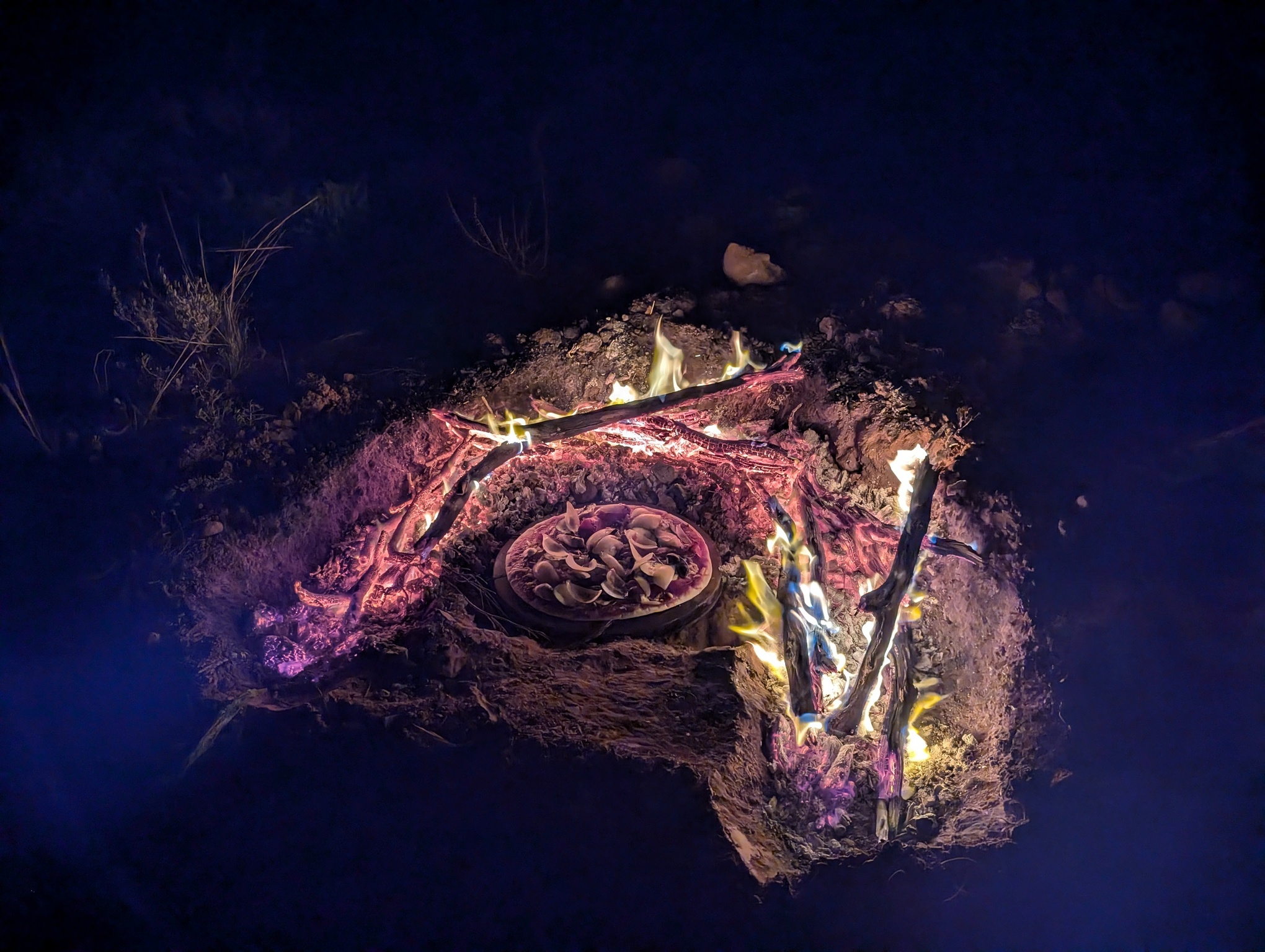
After waiting for way too long for the pizzas to cook, we pop a bottle of bubbles and enjoy the delicious pizzas.
day 5 - to Mundrabilla with a beach detour
By now we are pretty well adjusted to camper’s time: breakfast is eaten, swags are rolled, Starlink is boxed, and everything is stowed in Rhonda by 7am. We then spend an hour or two hitting some of the numerous candidates on the Eastern side of the fall area. The area is more open, which actually makes it harder to register images without prominent bushes as features. We just have to rely on the fact that we cannot see any obvious meteorites within ~10m of where the georeferenced image takes us. At that point, we have cleared about 2/3rd of the calculated search area, and tested pretty much all the things we wanted.
We return to Madura, and are informed at the petrol station that the Eyre highway is closed before Mundrabilla because a truck caught fire. Apparently it will take some hours to clear. Slight change of plan, not particularly keen on spending the day on a dusty car park, we drive to Moodini bluff, and then 40km South on a small track to the beach.
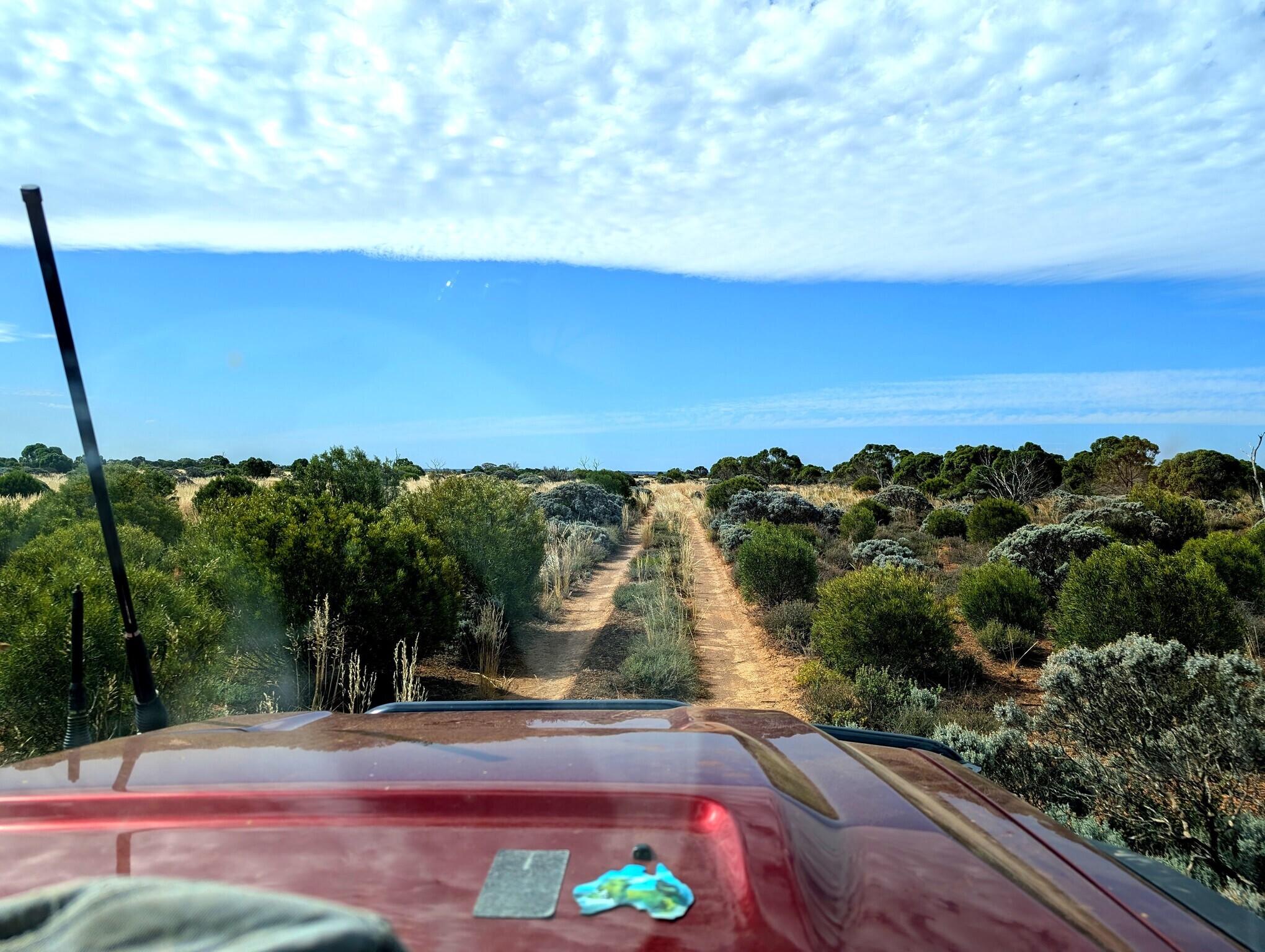
Iona tackling one of the many farm gates
I am pleasantly surprised that the track turned into sand dunes were only in the last 400m to the beach. So when we get there we just park the car before the first dune, and walk the last bit, without having to deflate tyres. The Southern Ocean welcomes us with a fresh breeze, and mountains of seaweed, both on the beach and in the water (the satellite imagery looked a lor more appealing, showing nice blue water). We use one of the pile of seaweed as shelter from the Easterly wind, enjoy a nice picnic, and debate whether the alcohol-free beer takes as good as the real thing (we have both version of Coopers).
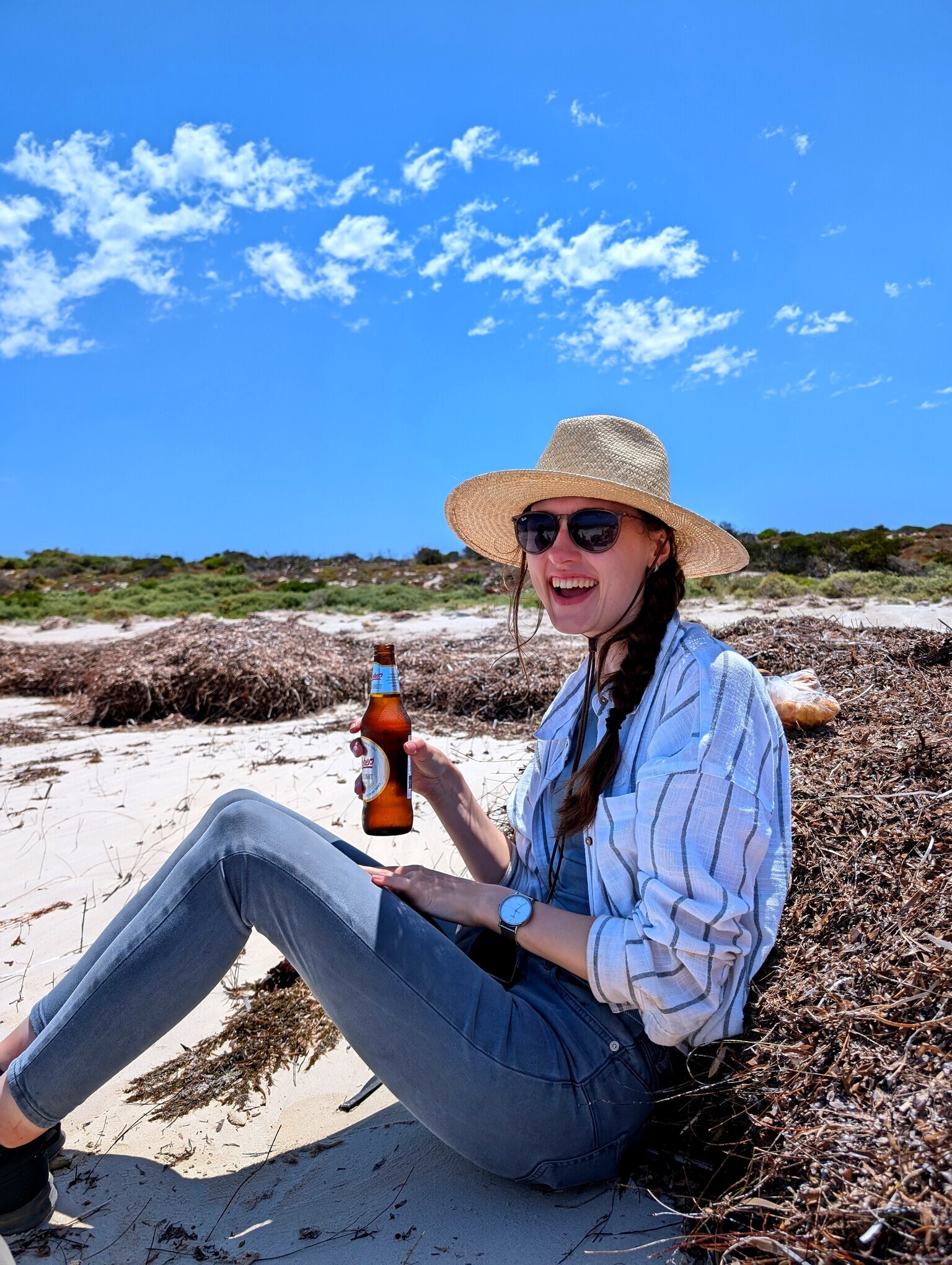
I then go for a run, upwind first, it is hard work, especially that I haven’t run in a month. The bear away downwind feels liberating. We then go for a swim. Iona and I explain to Veronika that in French the Southern Ocean is called the “Glacial Antartic Ocean”, which sounds extra cold. The water is actually quite warm, probably warmer than the Indian ocean was when we left Perth.
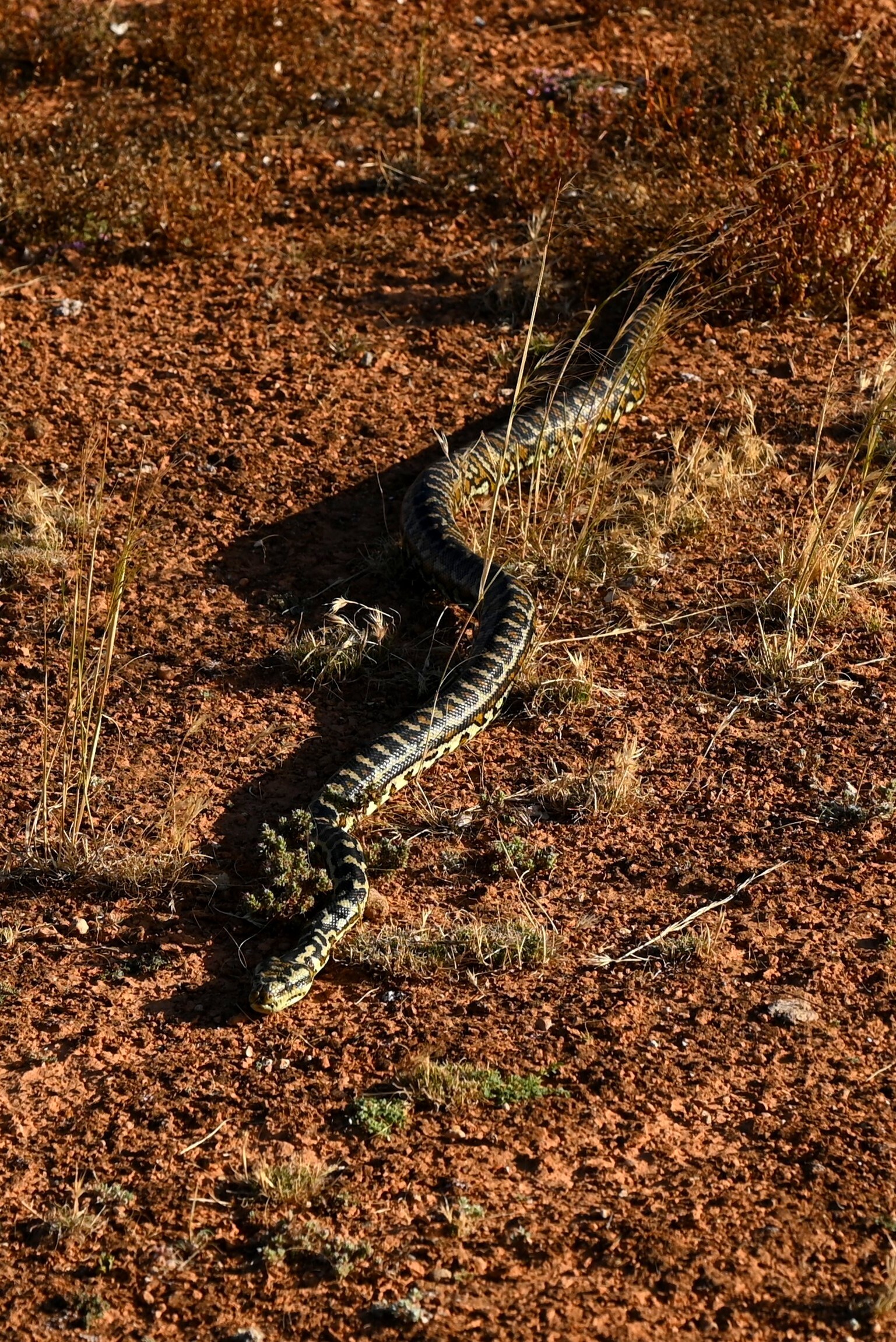
Time to head back, on the walk through the dunes we encounter snake #1, not sure which type, but venomous looking for sure. Took quite a bit of convincing to get him to move. Back on signal, the Emergency WA website indicates that the road has just been re-opened. We find a gap in the traffic (yes, traffic on the Eyre highway!), and drive the 60km to Mundrabilla station, where our first camera maintenance job is.
We fix the DFNEXT observatory. Then set up camp, protected in the trees as the wind is still quite strong. We grill steaks on the fire and enjoy a nice fresh salad on the side.
day 6 - to Forrest Airport
The girls put alarms on the see the sunrise at 4:30. I sleep till a lazy 6am, until the heat in the swag becomes unbearable.
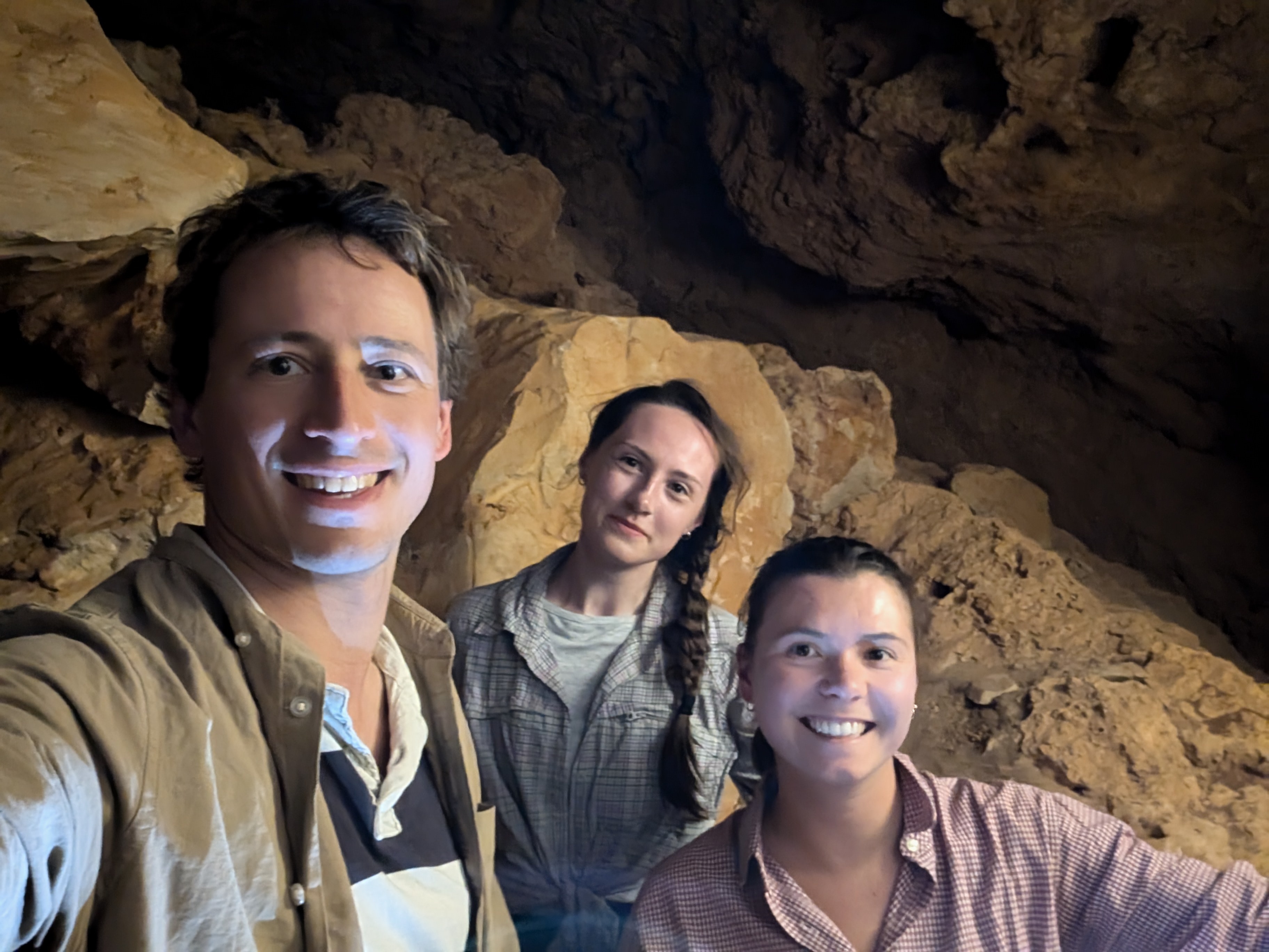
Today is hot and windy, luckily the first part is just driving in the aircon to Forrest. We make a stop at the Old Homestead Cave. The cool, darkness, and quiet of the cave is very welcome on this hot day.
We arrive in Forrest just on time for lunch, use the cottage facilities to make pasta with spicy sausages in tomato sauce. A nice change to be able to wash dishes in a real sink with running water.

We then wait out in the cottage, not particularly keen or safe to brave 40C and 25 knots of breeze doing physical work. The temperature suddenly drops 10 degrees in the mid-arfternoon when the wind turns South, and we head to the cameras.
We change the brackets for the spectral cameras, as the original ones were not stiff enough (it was pretty obvious in today’s wind why some of the meteor videos were shaky), and swap hard drives.
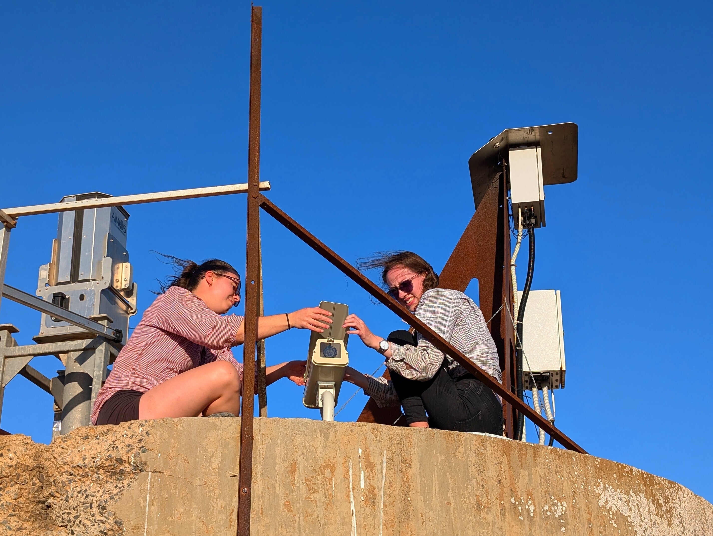
We then head back to well deserved showers, and go for dinner with the new managers, Donna and Andy, who tell us some good stories about crocodiles during their time in the Top End. After the delicious meal cooked by Donna (Chicken, roast veggies, cauliflower cheese, and homemade mango ice cream), we head back to the observatory site in the dark to adjust the focus on the spectral cameras.
Hack #4, finding some software that will display a live feed for The Imaging Source cameras, using the only computer we have, my Linux laptop. Obviously the manufacturer provided package for Linux doesn’t work on my recent Debian. I resort to compiling Aravis, and manage to use the viewer by starting an X-server as root.
day 7 - driving West
In the morning I have an online meeting with Lewis to discuss our progress and the next development steps. Meanwhile the girls visit the Forrest museum. We then pay a visit to the Forrest seismic station, that collects data that Iona uses for her PhD on bolide acoustics. Back in Forrest, with water and fuel topped up, it is time to say goodbye to Donna and Andy, and start our journey back West.
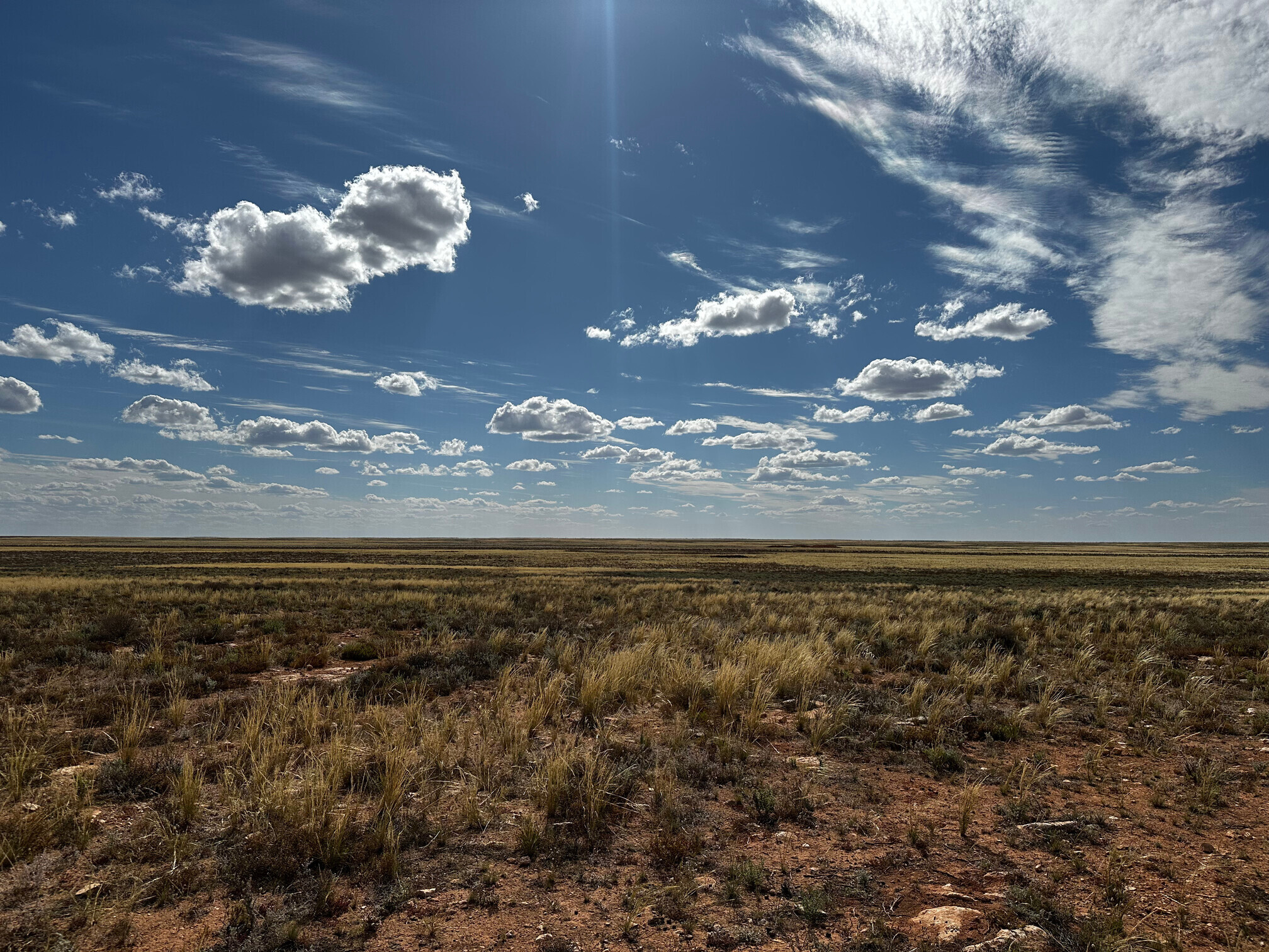
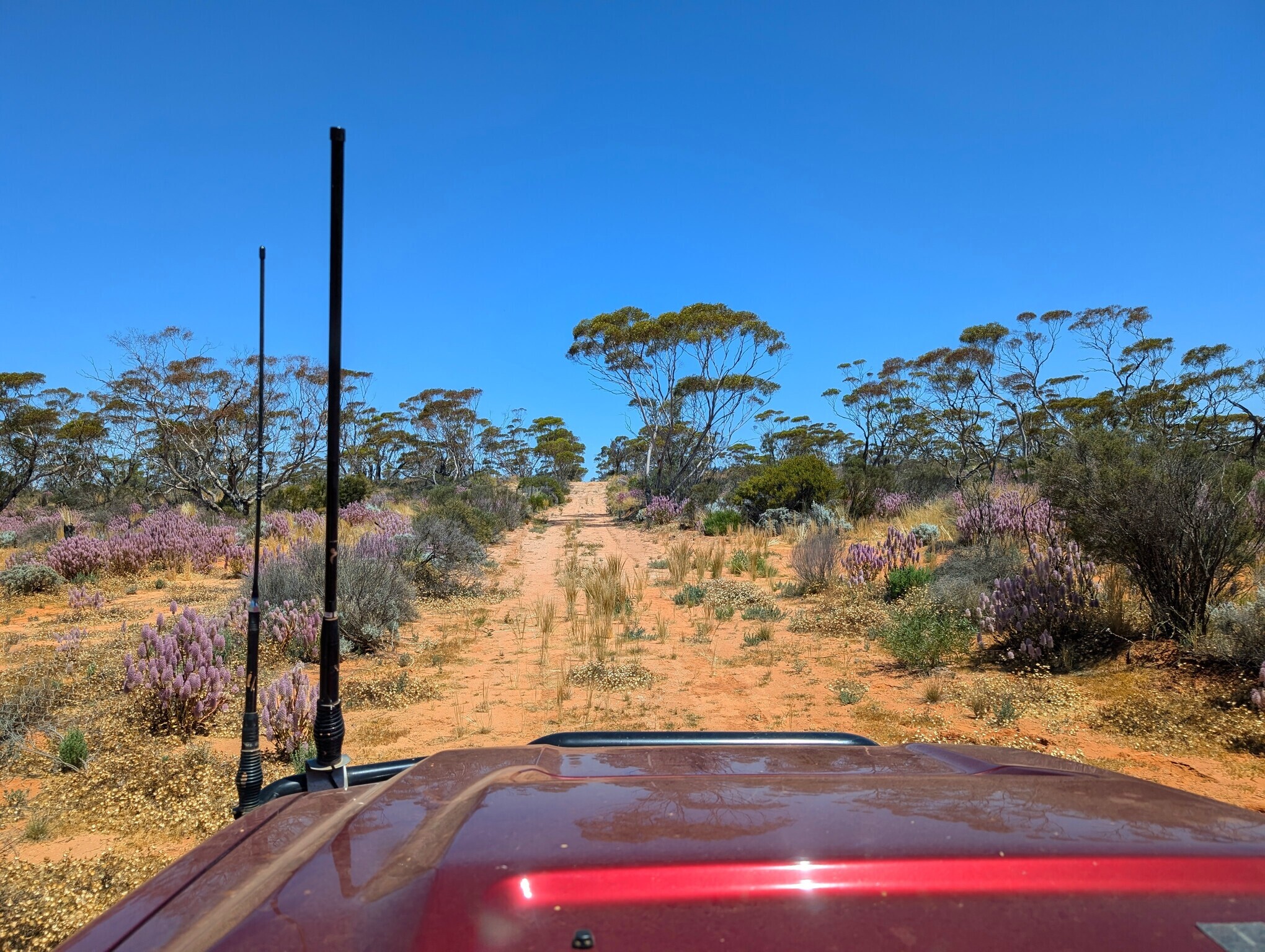
Nearly 3 hours to cover the 150km to Kybo station, the last bit between Loogana and Kybo has become significantly worse recently, likely because of the rain back in March/April. After servicing the cameras with the unwanted help of friendly flies, we go say hi to Greg and Jill at the homestead, but can’t stay too long as we need to keep moving West. Iona takes the annoying driving shift directly in the setting sun to Rawlinna.

We then head North towards the next camera site. With the strong Southerly blowing, we want to go as far as necessary to be in a wooded area to have trees as a wind break. We drive at snail pace on the rocks until 8:30pm, where we find a decent spot with some trees. I try to avoid night driving, but we all agree that in this case the extra push to shelter was well worth it. We cook some lentils and pork sausages.
day 8 - servicing the West Nullarbor
We drive the rest of the way to the next camera, a permenantly offline system These generally tend to work well without humans remotely interferring with them, but this one stopped taking pictures 10 months ago due to a shutter failure.
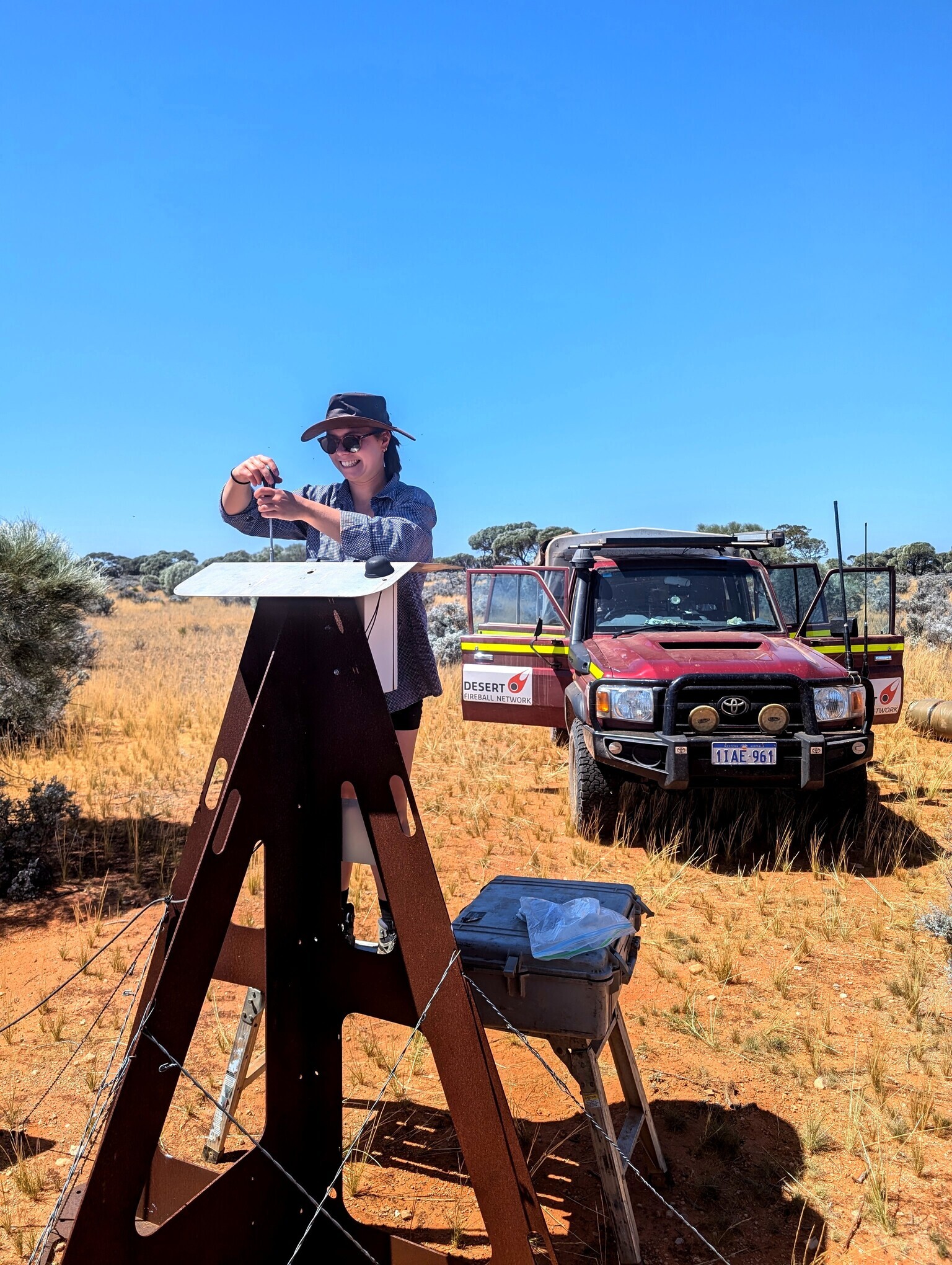
This one was working till a few days ago, until Telstra turned 3G off for good a couple of days ago. In theory it was just a modem replacement 3G -> 4G, but we also discover that the DSLR shutter just died as well (1.5 million shots, pretty respectable). Good timing. By now our team is servicing cameras like an F1 pit stop crew, so we manage to escape from the flies reasonably quickly.
With some rain forecast for tomorrow, we make a push West, off the Nullarbor, and stop for the night just 1.5 hours from Kalgoorlie. Last camping night and fire (probably the last one of the season). We cook a veggie chilli, following a Seamus recipe, accompanied on fire roasted potatoes, and top it with a freshly made guacamole, cream, cheese, and coriander.
day 9 - back in Perth
The remaining bread is pretty dry, and we have not much fresh fruit and yogurt left. So we delay breakfast till Kalgoorlie. While doing the vehicle check we discover a deflated tyre, quite a slow leak as it’s not fully flat. No obvious puncture wound. Out comes the compressor, and we will assess the situation in Kal. The rain starts slowly. By the time we reach Kal, refuel, have breakfast, check out the SuperPit, it intensifies, and the successive rain bands are so intense that by the time we arrive in Perth Rhonda has lost most of its dust coating.
This has been a very fun trip, in good company. I am really happy with where we are at with the development of the new webapp for drone meteorite searching. We have validated pretty much all the hard work that has been done so far. We can effortlessly process all the data the drone can capture with the click of a button. The meteorite candidates review process is now at the next level where we can get help from lots of people (many hands make light work). It is going to be an amazing tool for finding meteorites, the core of our science programme. We still have some practical issues to sort out (long-range WiFi notably) before the next test trip in December. Seamus is visiting us in early December, and will be a key participant on this one, where the goal will be to test the drone survey aspect, and live big data management. Hadrien out.

